City of Newton
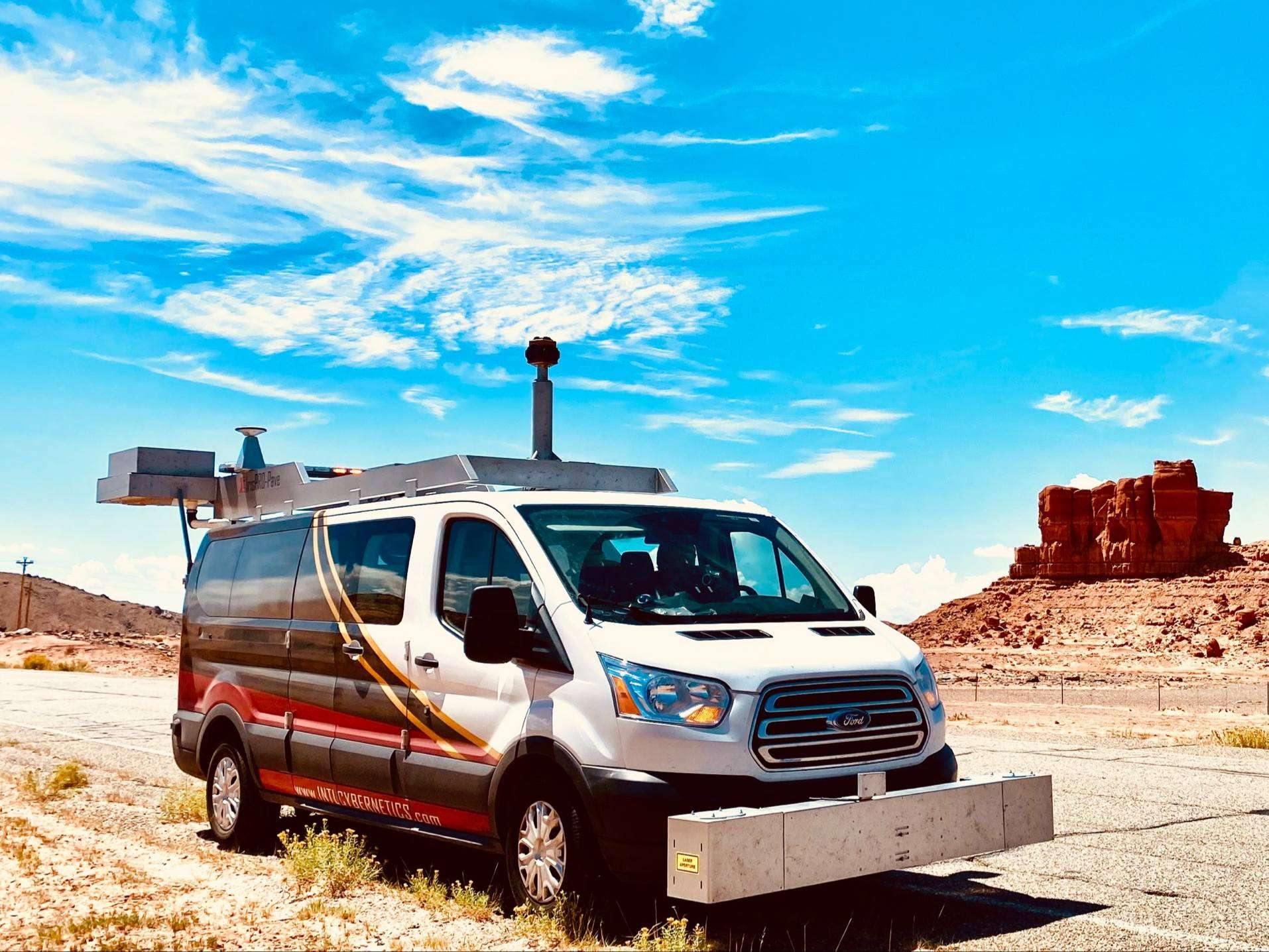
NEWTON, Kan. — In the next few days, IMS will be out driving Newton streets to gather data on the surface conditions of the streets.
The vehicle uses lasers not visible to the human eye to detect cracks, potholes, and all surface conditions on the pavement. The process will take about a week, depending on the weather. They typically will not run when the streets are very wet.
This information will be put into a GIS database that City engineering staff will use to analyze pavement conditions to schedule future road improvements.
CLICK HERE to download the Hutch Post mobile app.
CLICK HERE to sign up for the daily Hutch Post email news update.