


MARC JACOBS
Hutch Post
Heavy rainfall brought widespread drought relief across Kansas during the week ending Oct. 6, with more than half the state now free of drought or abnormally dry conditions, according to the latest Kansas Climate Report.
The report, prepared by Kansas State University Assistant State Climatologist Matthew Sittel, showed statewide precipitation averaged 2.77 inches during the seven-day period — more than four times the normal amount.
The remnants of Hurricane Polo delivered much of the rain. Eighty-five counties had at least one report of 2 inches or more, while 50 counties recorded at least 4 inches somewhere within their boundaries. Twenty-three counties had reports of at least 5 inches.
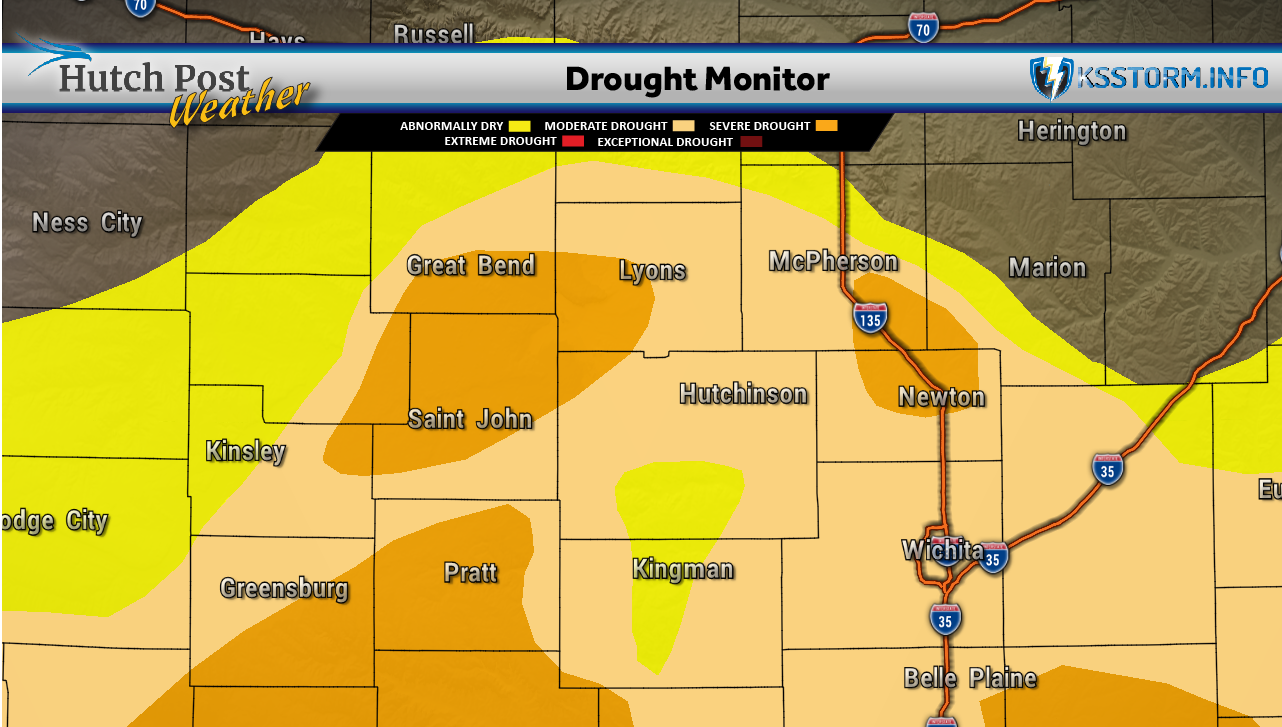
South-central Kansas averaged 2.56 inches, nearly four times its normal weekly rainfall. Despite that improvement, the region remained the state’s only climate division with below-normal precipitation for the growing season, at 96% of normal since April 1. Its calendar-year precipitation stood at 93% of normal.
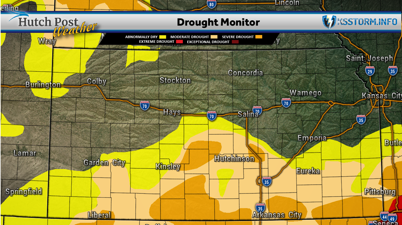
The Oct. 6 U.S. Drought Monitor showed 51.1% of Kansas free of drought or abnormal dryness, up from 29.6% the previous week. The portion experiencing moderate drought or worse fell from 46.4% to 30.9%.
Wichita improved from moderate drought to abnormally dry conditions. Dodge City improved two categories, moving from severe drought to abnormally dry. Salina, Hays, Hill City and Norton were among communities where abnormal dryness was removed.

The state’s Drought Severity and Coverage Index dropped 49 points to 90, its largest weekly improvement in nearly two years.
The highest weekly rainfall total was 7.65 inches near Syracuse in Hamilton County. The Syracuse station recorded 7.24 inches for Oct. 1 and 2 alone, already exceeding its previous October record of 5.58 inches set in 1965.
Temperatures remained above normal overall. The statewide weekly average was 69.2 degrees, or 4.6 degrees above normal. South-central Kansas averaged 72.6 degrees, the warmest of the state’s nine climate divisions and 6.4 degrees above normal.
A cooler day Oct. 2 ended a 39-day stretch of above-normal statewide temperatures. Warm conditions returned the following day.
The report’s forecast for Oct. 7-13 called for temperatures averaging 10 to 15 degrees above normal, with rain possible late in the period. Forecast rainfall ranged mostly from one-quarter to three-quarters of an inch, with the highest amounts expected along the Oklahoma border in southwest and south-central Kansas.
Data for this article was provided by Matthew C. Sittel, Assistant State Climatologist at the Department of Agronomy at Kansas State University.
The U.S. Drought Monitor is jointly produced by the National Drought Mitigation Center at the University of Nebraska-Lincoln, the United States Department of Agriculture, the National Oceanic and Atmospheric Administration and the National Aeronautics and Space Administration. Map data courtesy of NDMC.