


Kansas Nears Record September Warmth as Rain Eases Drought
Kansas approached the end of September with a possible statewide temperature record, as unusually warm nights extended a stretch of above-normal temperatures despite widespread clouds and rain.
According to the supplied weekly climate report, Kansas recorded 37 consecutive days of above-normal temperatures through Sept. 29. Overnight lows averaged 9 degrees above normal during the final full week of the month, while daytime highs averaged close to normal.
Cloud cover and damp conditions limited daytime heating but also kept temperatures from dropping to typical early-fall levels overnight.
Kansas Mesonet data showed a statewide September average temperature of 77 degrees through Sept. 29 — 8 degrees above normal. That put the month on track to challenge the record of 76.7 degrees set in 1931. The official statewide monthly average is scheduled for release Oct. 8 by the National Centers for Environmental Information.
The absence of cool mornings was particularly unusual in Goodland and Wichita.
Goodland’s lowest temperature for September through Sept. 29 was 50 degrees. In more than 130 years of climate records, the community had never experienced a September without at least one reading below 50. Its last low in the 40s occurred June 15.
Wichita’s lowest September temperature through Sept. 29 was 60 degrees. The previous record for its warmest September minimum was 55 degrees, set in 1998 and 2019.

Meanwhile, rainfall brought relief to portions of drought-stricken Kansas, particularly in western and north-central areas.
Statewide precipitation averaged 1.28 inches for the week, more than twice the normal amount of 0.62 inches. A cooperative observer south of Burr Oak recorded the state’s highest weekly total at 6.35 inches. An observer south of Monument in Logan County measured 5.20 inches over a two-day period.
Rainfall was much lighter in parts of eastern Kansas, with an observer east of Savonburg in Bourbon County reporting just 0.02 inches for the week.
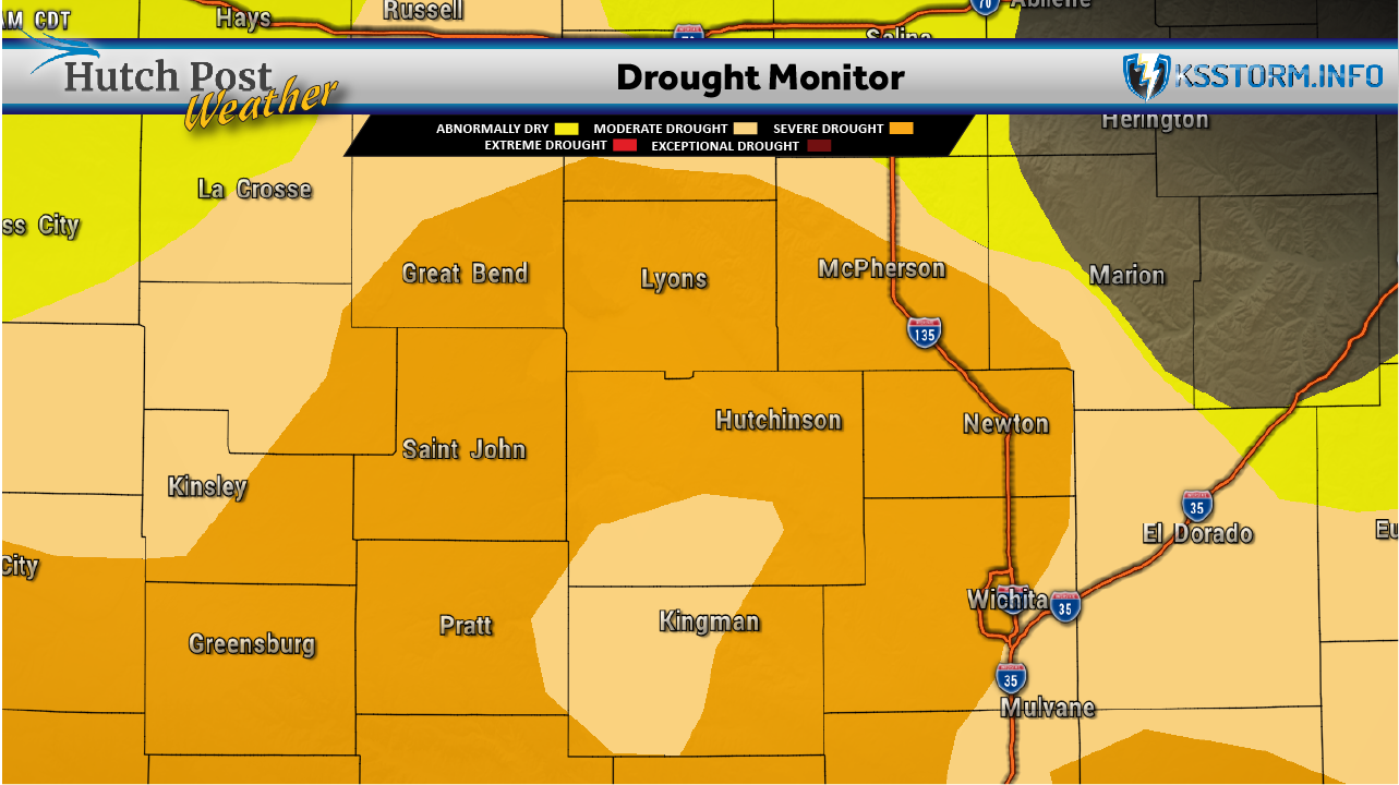
South-central Kansas continued to lag behind normal precipitation despite recent improvement. The region’s year-to-date deficit stood at 3.70 inches, while rainfall since April 1 was 2.76 inches below normal.
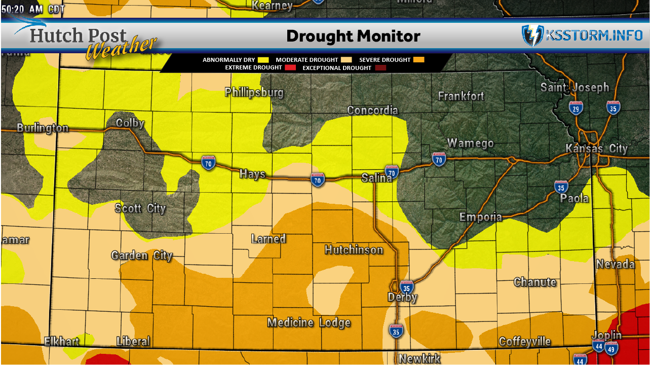
The U.S. Drought Monitor update dated Sept. 29 showed improvements across southwest, west-central and north-central Kansas. The share of the state experiencing moderate drought or worse declined from 50.9% to 46.4%.
The portion of Kansas with neither drought nor abnormally dry conditions increased from 22.5% to 29.6%.
Cloudy weather also reduced moisture loss from soil and vegetation. Estimated weekly water loss from grass averaged 0.64 inches, compared with a normal of 1.04 inches. However, accumulated moisture loss since April remained above normal, including a departure of 4.38 inches in south-central Kansas.
Data for this article was provided by Matthew C. Sittel, Assistant State Climatologist at the Department of Agronomy at Kansas State University.
The U.S. Drought Monitor is jointly produced by the National Drought Mitigation Center at the University of Nebraska-Lincoln, the United States Department of Agriculture, the National Oceanic and Atmospheric Administration and the National Aeronautics and Space Administration. Map data courtesy of NDMC.