


Kansas saw near-normal temperatures, scattered thunderstorms and continued improvement in drought conditions during the first week of July, according to the latest statewide weather and agriculture report.
The statewide average temperature for the seven-day period ending July 7 was 79.5 degrees, about 1.3 degrees above normal. High temperatures generally reached the low 90s, with several locations in southwestern Kansas topping out at 102 degrees on July 3. Overnight lows remained mostly in the 60s. Here in Hutchinson the airport reported the highest temperature for the week on July 3, when the daytime high was 93.
Rainfall was uneven across the state. Thunderstorms around the Fourth of July brought heavy rain to parts of northern and central Kansas while much of southern Kansas remained dry. McFarland in Wabaunsee County recorded the state's highest weekly rainfall total at 3.58 inches, including 3.07 inches in a 24-hour period.
Several counties received between 2 and 3 inches of rain, but Medicine Lodge recorded no measurable precipitation during the week. Wichita and Dodge City reported only a trace of rainfall. Statewide precipitation averaged 0.68 inches, about 0.22 inches below normal. The Hutchinson Airport received 0.48 inches of rain for the week, all on July 4.
The storms also produced severe weather. No tornadoes were reported, but there were 18 reports of severe hail and 49 reports of damaging wind. The strongest wind gust reached 74 mph at Hutchinson Airport on July 4, while the largest hail measured 2.25 inches in Sumner County.

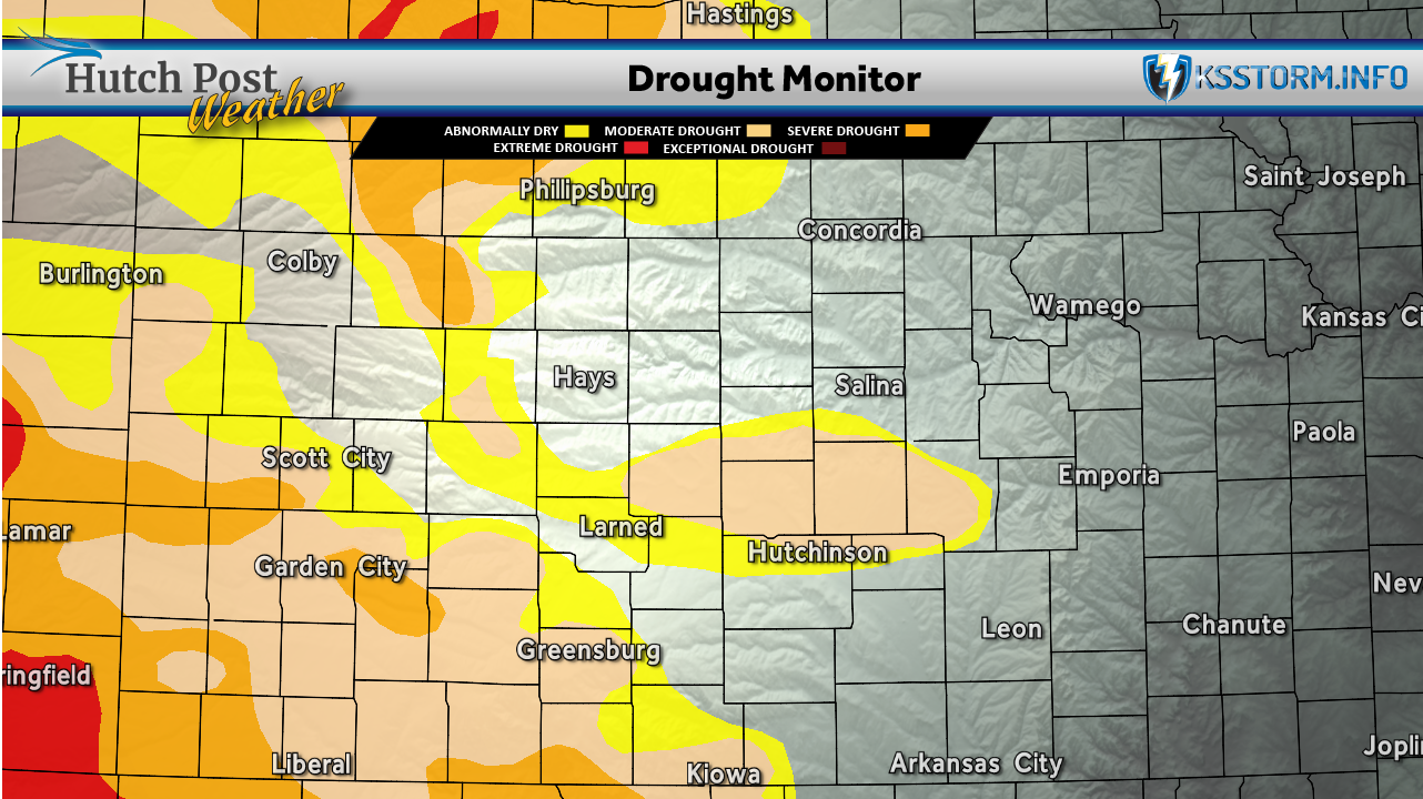
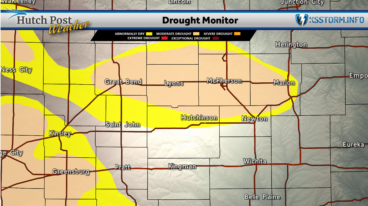
Despite below-normal statewide rainfall, drought conditions continued to improve. The latest U.S. Drought Monitor showed no areas of degradation and improvements across portions of 19 counties in western Kansas. Nearly 59% of the state is now free of drought designation, the highest percentage since late February, while 27% of Kansas remains in moderate drought or worse.
Agricultural conditions also remained favorable. Growing degree days continued to run above normal, supporting crop development, while corn stress degree days remained below average, indicating crops have avoided extended periods of extreme heat.
Forecasters expect temperatures to remain slightly above normal through mid-July. The best chances for additional rainfall are expected across north-central and northeast Kansas, while much of southern Kansas is forecast to receive less than one-half inch of rain during the next week.
Data for this article was provided by Matthew C. Sittel, Assistant State Climatologist at the Department of Agronomy at Kansas State University.
The U.S. Drought Monitor is jointly produced by the National Drought Mitigation Center at the University of Nebraska-Lincoln, the United States Department of Agriculture, the National Oceanic and Atmospheric Administration and the National Aeronautics and Space Administration. Map data courtesy of NDMC.