


LINCOLN, Neb. — A highly variable weather pattern brought dramatic temperature swings and widespread rainfall across much of the United States during the past week, according to the latest national drought and weather summary.
An unusually cold air mass that settled over the Plains early in the week pushed eastward, bringing a stormy end to an early-season heat wave along the East Coast. Meanwhile, much of the western United States experienced well above-normal temperatures before cooler air arrived late in the week.
By midweek, temperatures had surged back across the Plains, with some locations reaching the upper 90s. Strong temperature contrasts across the country, combined with abundant Gulf moisture, fueled widespread heavy rainfall from eastern Texas and Oklahoma northeast into the mid-Atlantic region.
Many areas recorded more than two inches of precipitation, with isolated locations receiving six inches or more. Lighter but widespread rainfall also fell across portions of the north-central Plains, while mostly dry weather prevailed across the upper Mississippi Valley and western Corn Belt.
In the High Plains region, weather conditions shifted quickly from below-normal temperatures to a much hotter pattern. Thunderstorms brought up to two inches of rainfall to parts of eastern Nebraska and eastern Colorado, though many other locations received an inch or less.

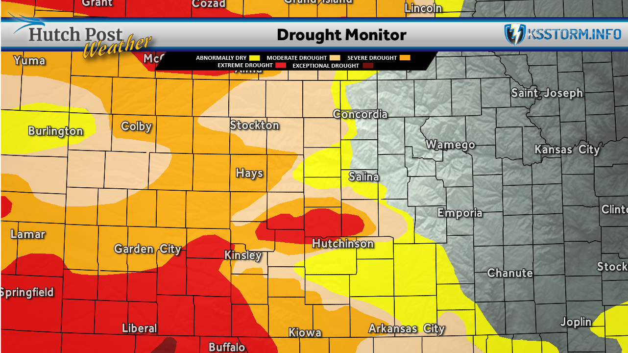
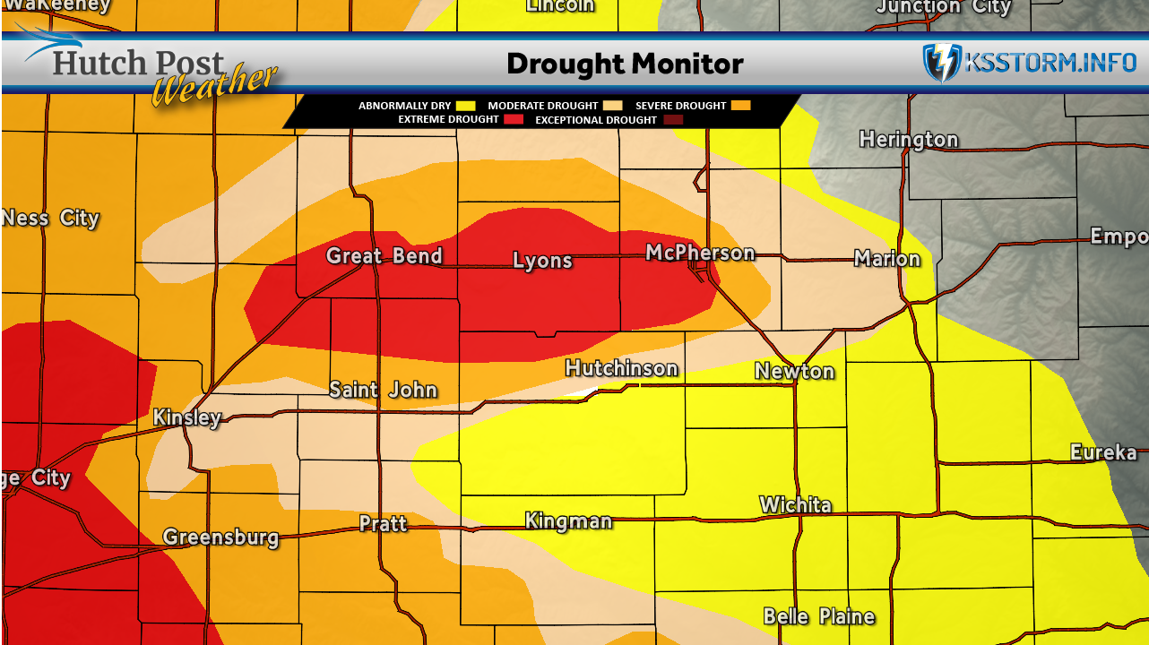
The rainfall helped reduce drought conditions in portions of northern and northeastern Colorado. However, southeastern Colorado and parts of Kansas saw worsening drought conditions as hot temperatures combined with drier weather.
Forecasters also noted a sharp cutoff in precipitation across the far western Dakotas, where small areas of drought degradation developed near the Wyoming and Montana borders.
Across the western United States, conditions remained mostly dry through much of the week before a strong cold front brought showers into the Pacific Northwest near the end of the reporting period.
The U.S. Drought Monitor is jointly produced by the National Drought Mitigation Center at the University of Nebraska-Lincoln, the United States Department of Agriculture, the National Oceanic and Atmospheric Administration and the National Aeronautics and Space Administration. Map data courtesy of NDMC.