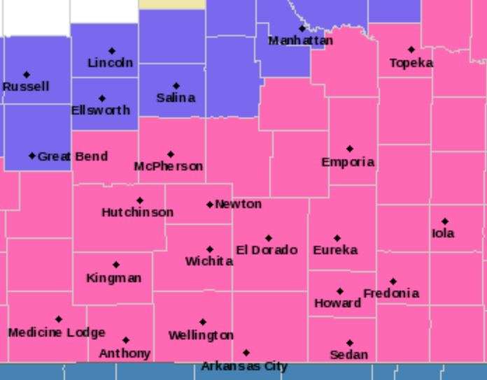
The National Weather Service office in Wichita has issued a Winter Storm Warning in effect from 9 p.m. Tuesday to 6 a.m. Thursday.
A wintry mix, will quickly transition to moderate to heavy snow by Wednesday morning. Total snow accumulations of 5 to 7 inches are likely. Little if any ice accumulation are expected over portions of Central, South Central and Southeast Kansas.
Plan on slippery road conditions. Patchy blowing snow could significantly reduce visibility. The hazardous conditions could impact the morning or evening commute.
Cold wind chills as low as 15 below zero Wednesday night into Thursday morning could result in hypothermia if precautions are not taken.
If you must travel, keep an extra flashlight, food, and water in your vehicle in case of an emergency.
The latest road conditions for the state you are calling from can be obtained by calling 511.
Below is info from the KSStorm.Info Weather Center. They are predicting 6 to 9 inches of snow in the Eagle listening area, which stretches a little farther west than the Wichita forecast area.
___________________________________________
MATTHEW HARDING
KSSTORM.INFO
What We Believe Will Happen: We will likely see a few showers break out for areas southeast of a line from Topeka to Hutchinson during the afternoon hours, with a hundredth of an inch or two expected.
During the night Tuesday, a storm system moving in from the southwest will create a broad and diffluent flow aloft. Combined with moisture from the Pacific and Gulf of Mexico, this will allow precipitation to become widespread for most of the area. With temperatures being below freezing, most of the precipitation should fall as snow, though, there will be an area southeast of the Kansas Turnpike that deals with a period of sleet and freezing rain.
As we move through the day Wednesday, the lift over the state deepens and we see areas of moderate to heavy snow.
The heaviest precipitation is expected through about midnight Wednesday.
Flurries and snow showers are likely to continue into Thursday, but there is disagreement among models on whether we see more accumulating snow in southern Kansas.
North and northeast winds will run 10-20 mph during the event, which will be enough to create some blowing snow issues, especially given the fluffy nature of the snow.
The cold will also be an increasing storyline with this event. Temps will fall Tuesday night below freezing for most of the state, and will continue falling during the day Wednesday into the teens across the state.
The most critical periods for wind chills will be Thursday and Friday morning, as we see temps fall into the single digits either side of zero and winds from the north continuing. This will drive wind chills into the -10 to -20 range for most areas and we do expect that wind chill advisories will come out at some point closer to when these values are expected.